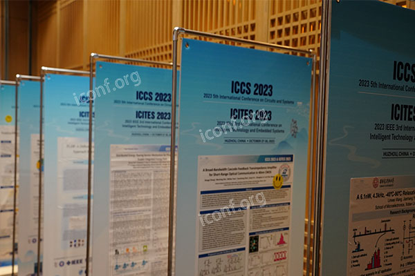
Geographic Information Systems (GIS) underpin critical advances in environmental management, urban planning, and disaster response. Responding to a GIS Call for Papers (CFP) allows you to disseminate novel methodologies, engage with international peers, and influence decision-making processes. Use iconf.org to locate and submit to verified GIS CFPs.

Global Visibility
Position your work on spatial data modeling, geospatial big data, or cartographic visualization before an international audience of researchers and practitioners.
Interdisciplinary Collaboration
Collaborate with experts in remote sensing, urban analytics, environmental science, and public policy to develop integrated spatial solutions.
Professional Recognition
Peer-reviewed conference proceedings and special journal issues bolster your CV, supporting grant applications and career advancement.
Align your submission with one or more of these active GIS topics:
Spatial Data Science & Machine Learning
Remote Sensing & Image Analysis
Location-Based Services & Web GIS
Urban & Environmental GIS Applications
3D GIS, LiDAR & Digital Elevation Models
Disaster Risk Assessment & Emergency Response
Geoinformatics & Open-Source GIS Tools
iconf.org aggregates CFPs across geospatial disciplines, streamlining your search:
Filter by Discipline
Select “GIS & Geoinformatics” to view current calls in mapping, analysis, and visualization.
Track Deadlines
View abstract, full-paper, and notification dates in a single interface.
Access Submission Links
Follow direct portals to ensure compliance with each venue’s formatting and review process.
Verify Credibility
Rely on curated listings vetted by academic partners to avoid predatory gatherings.
Align with Themes
Ensure your topic fits the CFP’s stated scope and keywords.
Craft a Concise Abstract
Summarize goals, methods, results, and implications in 250–300 words.
Structure Clearly
Adopt the IMRaD format (Introduction, Methods, Results, Discussion) for logical flow.
Incorporate Quality Visuals
Use clear maps, charts, and screenshots to illustrate spatial findings.
Follow Formatting Guidelines
Adhere strictly to word limits, citation style, and template requirements.
Proofread Thoroughly
Seek peer feedback and professional editing to polish language and clarity.